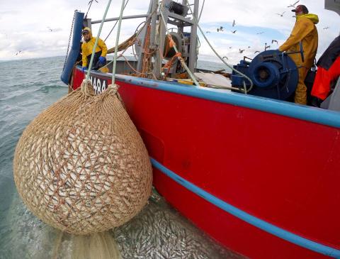
The MSPACE programme is designed to drive forward implementation of climate-smart, economically viable and socially acceptable UK marine spatial planning.
MSPACE has now published its 'early warning system', a state-of-the-art modelling analysis showing where, and for how long, marine conservation, fisheries and aquaculture could be best supported across UK seas.
The animated version of the main report, a summary for policy makers and an infographic provide different entry points for anyone with an interest in climate-smart marine spatial management. A printable version of the main report is also available here.
Two Annexes to the main report provide information on validation of modelling data sets used in the report (Annex 1) and the present Seabed Habitat Condition in the UK EEZ (Annex 2), as well as further information on source datasets used in the analysis. The MSPACE spatial outputs, including the EEZ climate change hotspots and refugia shapefiles, can be found here.
The MSPACE project is ongoing until 2025 with a web-based tool being co-developed with the policy and industry communities across UK Nations.
More details of the project can be found here.
