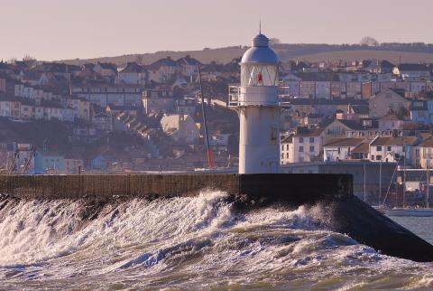
- There has been a poleward shift in the storm track since the 1990s and an increase in the annual mean number of storms.
- Mean significant wave height has reduced over the last 30 years in northern UK waters and increased in the south.
- Observed trends in storms and waves cannot be directly attributed to climate change because of the high variability and limited understanding of associated mechanisms.
- Winter storm track position and intensity is a sensitive and important control on wave climate.
High evidence, medium consensus
Long term observations of the atmosphere (e.g. sea level pressure and winds) reveal a great deal of variability at time scales from multi-decadal to intra-annual for a century or more, with an increase in jet strength and multi-decadal variability in recent decades. However, attribution of changes is more difficult, with models unable to reproduce those trends. Changes in wind speed statistics are associated with variability in storm track, jet strength and the intensity of cyclones, but no persistent trend is apparent. While our evidence base has continued to grow, with longer observational datasets and more model re-analysis available, there is not a consensus in the trend in SWH, which is highly sensitive to seasonality and short-term variability. No dataset or re-analysis is perfect, and it remains unclear which of those currently available for wave climate is the most reliable.
- Climate change could affect storms and waves in the North Atlantic, but natural variability will continue to dominate over the next few decades.
- The most severe waves could increase in height by 2100 under a high-emissions scenario, but there could be an overall reduction in mean significant wave height in the North Atlantic.
- Wave heights are expected to decrease in the mean but experience increased frequency and intensity of extreme events.
- Projections imply that more very severe winter storms will cross over the UK. The chance of severe storms reaching the UK during autumn may increase if tropical cyclones (such as hurricanes) become more intense, and their region of origin expands northwards.
Medium evidence, low consensus
The future changes depend on model projections, which have improved on moving from CMIP5 to CMIP6 but still have shortcomings when representing the most intense storms. There are still quite substantial differences between different climate models, but new higher-resolution models promise better representation of storms. Meta-analysis through e.g. COWCLIP has led to better understanding and quantification of intra-model uncertainty, and helped identify areas of (no) consensus.
- There is inconsistency between models, in-situ observations, and remotely sensed wave data.
- We need to improve the simulation of storms in climate models.
- We need to improve understanding of how North Atlantic storms and blocks respond to external forcing.
- We need to use new techniques: meta-analysis and statistical methods to reduce historical and future uncertainty.